
NSW to Swelter Under Heat Warnings; Sydney Set for Blistering Maximum
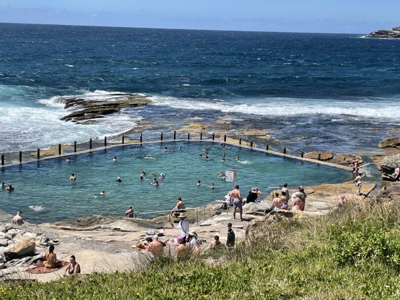
News aggregator/ Posted from Maroubra Beach 08.10 Wednesday 26 November(Images Maroubra Beach)
Posted 26 November,2025
SYDNEY, NSW – Residents across New South Wales are urged to take extreme caution as widespread hot conditions, accompanied by heatwave warnings for some northern and eastern regions, settle in for the remainder of the week. Sydney is bracing for a significant spike in temperatures today, with a high chance of storms bringing volatile weather to parts of the state.
⚠️ Heatwave Conditions in NSW
A broad trough moving across the state is drawing in heat and moisture, causing daytime temperatures to soar above average, particularly in the north and east of NSW.
The Bureau of Meteorology (BoM) has issued a Heatwave Warning for New South Wales, with low to severe intensity heatwave conditions affecting various districts. Areas around the Northern Rivers, Mid North Coast, and Northern Tablelands are currently under an advisory to monitor conditions through Wednesday, as temperatures remain well above average.
Key Weather Threats:
-
Heat & Humidity: The combination of high heat and moisture will create uncomfortably sticky and draining conditions.
-
Thunderstorm Risk: The unstable airmass is likely to generate widespread showers and gusty thunderstorms across the state today and tomorrow. Severe thunderstorms are possible, particularly in the northeast quarter and northern inland, bringing risks of damaging winds and large hail.
☀️ Sydney’s Peak Heat and Volatile Days Ahead
Sydney is experiencing its hottest day of the current spell today, Wednesday, with a forecast maximum well into the mid-thirties, potentially reaching $36^\circ \text{C}$ in the city, and higher in western suburbs.
| Day | Max Temp (Approx.) | Conditions | Key Alert |
| Wednesday | 36 c | Hot, with a chance of a late shower or gusty thunderstorm (50% chance of rain). | Stay Hydrated |
| Thursday | 31 c | Still warm but easing slightly. Mostly sunny with a low chance of rain. | High UV Index |
| Friday | 26 c | Significant drop in temperature, much cooler and mostly sunny. | Relief Arrives |
The intense heat today will be followed by a coastal southerly change, expected to bring a noticeable drop in temperatures, offering a reprieve for the weekend.
🚨 Safety Advice: Stay Heat-Smart
NSW Ambulance and health authorities are urging the public to take precautions to manage the extreme heat:
-
Stay Cool: Utilise air conditioning, seek refuge in cool public spaces (shopping centres, libraries), and wear light, loose-fitting clothing.
-
Hydrate: Drink plenty of water throughout the day. Avoid alcohol and sugary drinks which can contribute to dehydration.
-
Limit Activity: Avoid strenuous outdoor activities during the hottest part of the day, typically between 10 am and 4 pm.
-
Check on Others: Elderly relatives, neighbours, young children, and those with medical conditions are particularly vulnerable to heat illness. Ensure they are keeping cool and hydrated.
Authorities continue to monitor the weather situation. Residents should stay up-to-date with the latest official warnings from the Bureau of Meteorology (BoM).
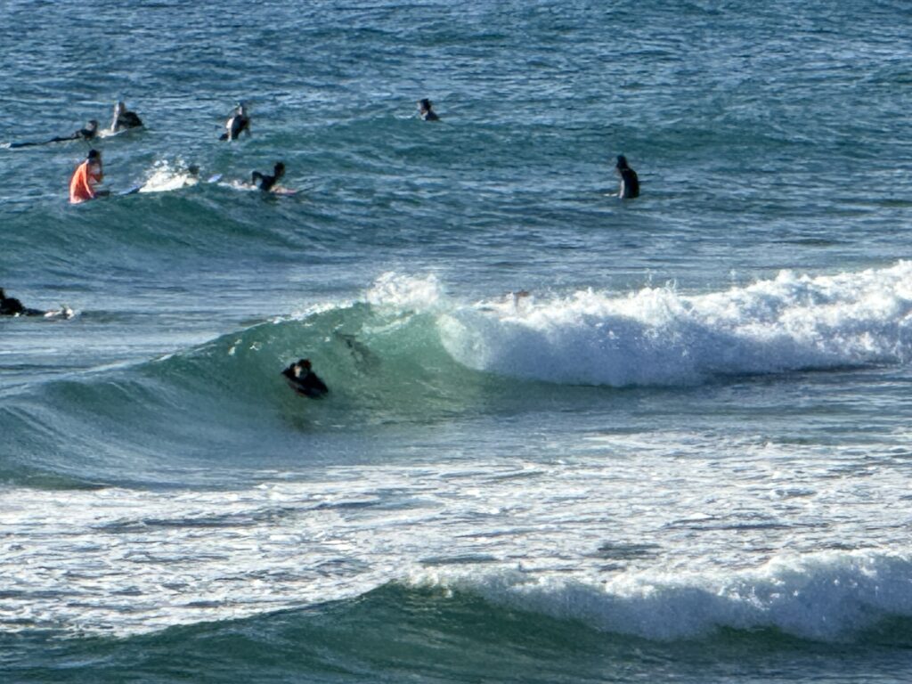
Strong Wind Warning for Wednesday for Sydney Enclosed Waters
Wind
Northwesterly 15 to 20 knots turning west to southwesterly 20 to 30 knots in the late afternoon.
Seas
Weather
Partly cloudy. The chance of a thunderstorm during the morning and afternoon.
Weather situation
North to northwesterly winds are forecast to prevail over the coming days due to a weak high pressure ridge while a series of troughs and fronts brushing Sydney Waters will bring brief southerly wind changes in their wake.